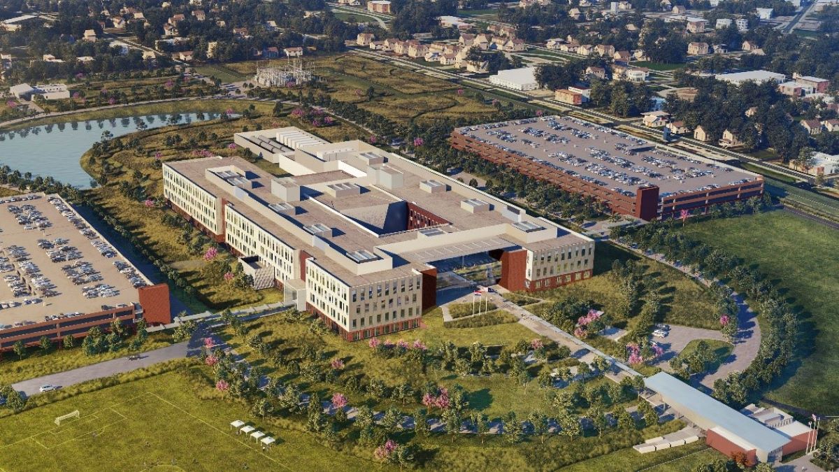
At Datotel, we’re excited about the National Geospatial-Intelligence Agency (NGA) building a new facility just a few blocks from our downtown St. Louis data center and corporate headquarters. With NGA’s significant investment in the region, geospatial technology in St Louis is quickly emerging as a key industry. Consequently, there is a growing need for businesses and organizations to access reliable cloud solutions and data center services.
According to the NGA’s Strategy Document, one of their key objectives is establishing an Open IT Environment. The document states:
“Leverage and rapidly deploy interoperable collection, processing, and exploitation capabilities… NGA will develop and deploy intuitive online services that are available for adoption and integration by the GEOINT community. These applications will provide immediate access to GEOINT processing and exploitation capabilities, enabling rapid and precise responses to key intelligence issues.”
It further explains:
“This enables a self-assisted, full-service delivery model that allows users to create and consume GEOINT content anytime on the device of their choice.”
By focusing on these goals, the NGA is driving a shift toward more flexible, collaborative, and cloud-based approaches to geospatial operations.
The NGA’s push for an Open IT Environment reflects broader trends across industries:
Moreover, cloud computing addresses these challenges by providing a centralized, scalable infrastructure that adapts to evolving workloads. Datotel’s cloud and data center solutions for geospatial organizations in St. Louis allow businesses to manage and analyze large datasets efficiently while minimizing operational overhead.
As the geospatial industry expands, fast storage, reliable backup, and remote access are critical. Many organizations now manage petabytes of data, which must be accessible and analyzable from remote devices. This growth drives the need for more computing power and scalable storage solutions, delivered in a way that is efficient and reliable.
Adopting cloud-based infrastructure offers significant advantages for geospatial organizations:
Cloud and data solutions are not only supporting geospatial organizations directly; they’re also unlocking opportunities across multiple sectors including agriculture, utilities, defense, finance, and logistics. By connecting geospatial technology to these established industries, St. Louis is establishing itself as a growing center for geospatial innovation.
Datotel proudly contributes to this growth through our St. Louis data center and cloud solutions, providing the expertise, infrastructure, and operational support that organizations need to thrive.
Discover how Datotel supports the geospatial industry, get in touch today.